


Loading…
Drone-based aerial surveys and geospatial data for earthwork and site planning926 Northwest 5th Street, Miami, FL

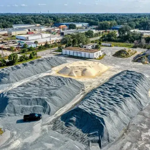
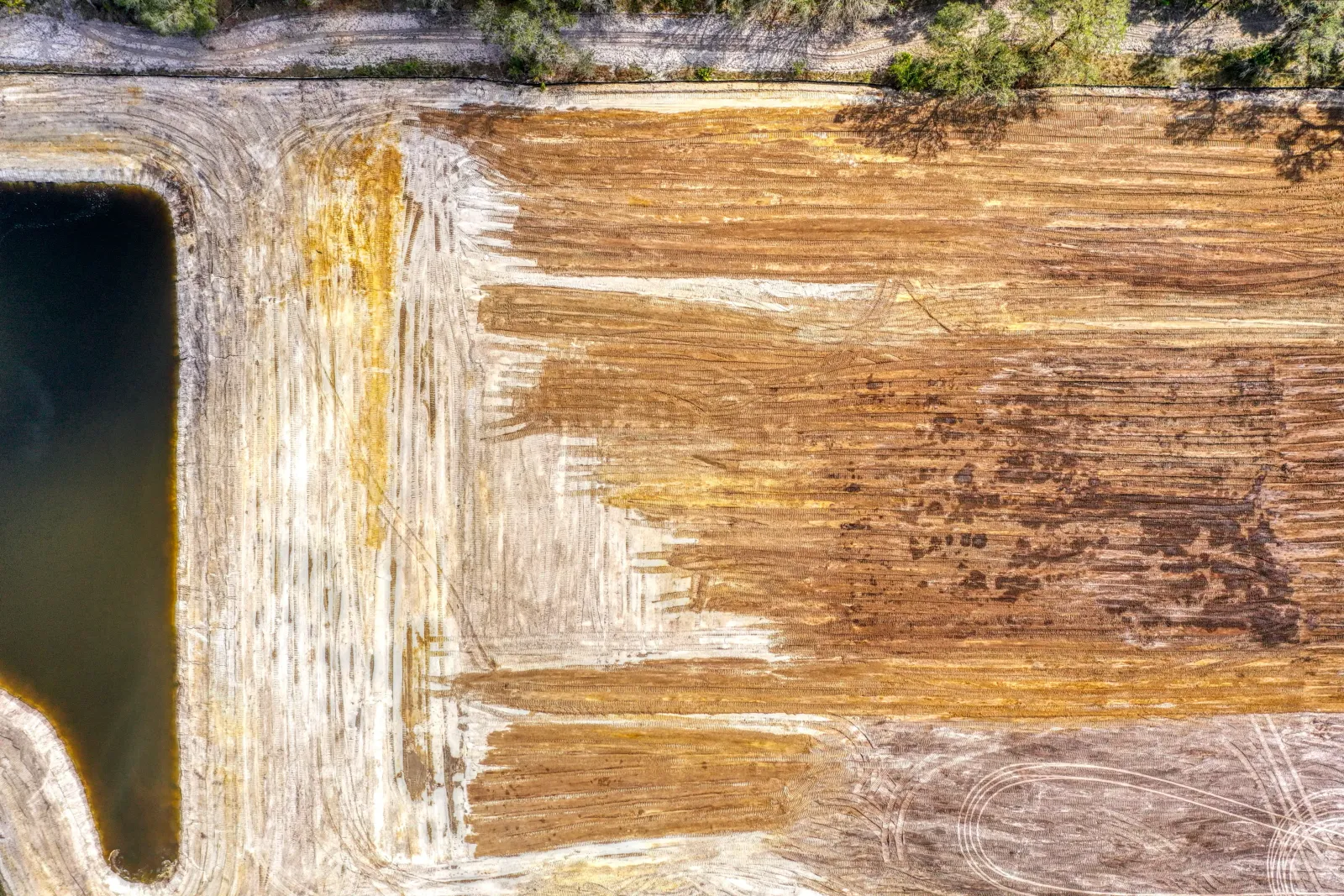
Florida Aerial Survey Technologies, known as FAST, uses drones to capture and process geospatial data for construction, mining, civil engineering and infrastructure projects. Its core work includes stockpile surveys that track material volumes, earthwork analysis for cut-and-fill calculations, building and road linework for CAD and planning, and topographic surveys that produce 3D elevation models. The company was founded in 2018 by drone pilot Andrew Kobza and builds its own drone workflows and software in house.
Clients typically start by calling or emailing about a project, and the team aims to respond within 24 business hours. Urgent requests can be phoned in during weekday business hours. Survey results are shared through an online portal. The company covers projects across Florida from regional teams in Miami and Fort Lauderdale, Tampa, Orlando, Jacksonville and Fort Myers and Naples, with its listed Florida office in Naples open to visitors by appointment.


Bookkeeping, accounting and QuickBooks support for small businesses
Listing your business here is free. Featured is $49 a month: